
September 30, 2026, morning update. A flood watch is in effect for much of South-Central Texas from 7 p.m. Wednesday until 7 p.m. Friday, according to the National Weather Service’s Austin/San Antonio office. The watch covers parts of the Hill Country, Edwards Plateau and Interstate 35 corridor, including the San Antonio and Austin areas. A watch means flooding is possible in the affected area; it does not mean every location will flood.
A slow-moving cold front will meet deep moisture, including remnants carried north from former Hurricane Polo. The local NWS office says repeated periods of heavy rain could lead to flash flooding. Its September 30 briefing calls for widespread rainfall of 2 to 4 inches through the event, with isolated higher amounts up to 8 inches possible. Those are forecast ranges for a broad region, not a prediction for every address.
When the risk is greatest
The NWS office says the chances for heavy rain and flash flooding are highest from Wednesday night into Friday. A September 30 forecast by the San Antonio Express-News places the highest storm chances around San Antonio on Thursday afternoon and evening, with additional rounds possible overnight and Friday. The timing and placement of individual downpours can change, so readers should use a current local forecast before traveling.
Afternoon forecast update: The Weather Prediction Center’s September 30 Day 1 outlook places parts of Central Texas in a Level 3 of 4 moderate risk for excessive rainfall through 7 a.m. Central time Thursday. The risk area was expanded east toward Bryan–College Station and La Grange, according to an updated Houston Chronicle forecast. Houston itself remained outside the highest-risk core at the time of the update, and the exact placement of repeated downpours was still uncertain. A moderate outlook identifies elevated potential across a region; it is not a warning for every community.
What to do with a flood watch
Check current NWS alerts before and during the storm, especially if you live near a creek, low crossing or poor-drainage road. Have more than one way to receive warnings. If a flash flood warning is issued for your location, follow local instructions promptly. Never drive through water covering a roadway; its depth and the road beneath it may be impossible to judge.
AskNovus’s watch, warning and advisory explainer describes how alert levels differ. The Weather page also has a location-based U.S. forecast tool. Forecasts and watch boundaries can change after this morning update.
Sources
- National Weather Service Austin/San Antonio, local briefing and hazards, updated September 30, 2026
- San Antonio Express-News, September 30, 2026
- Weather Prediction Center, Day 1 Excessive Rainfall Outlook, updated September 30, 2026
- Houston Chronicle, updated September 30, 2026
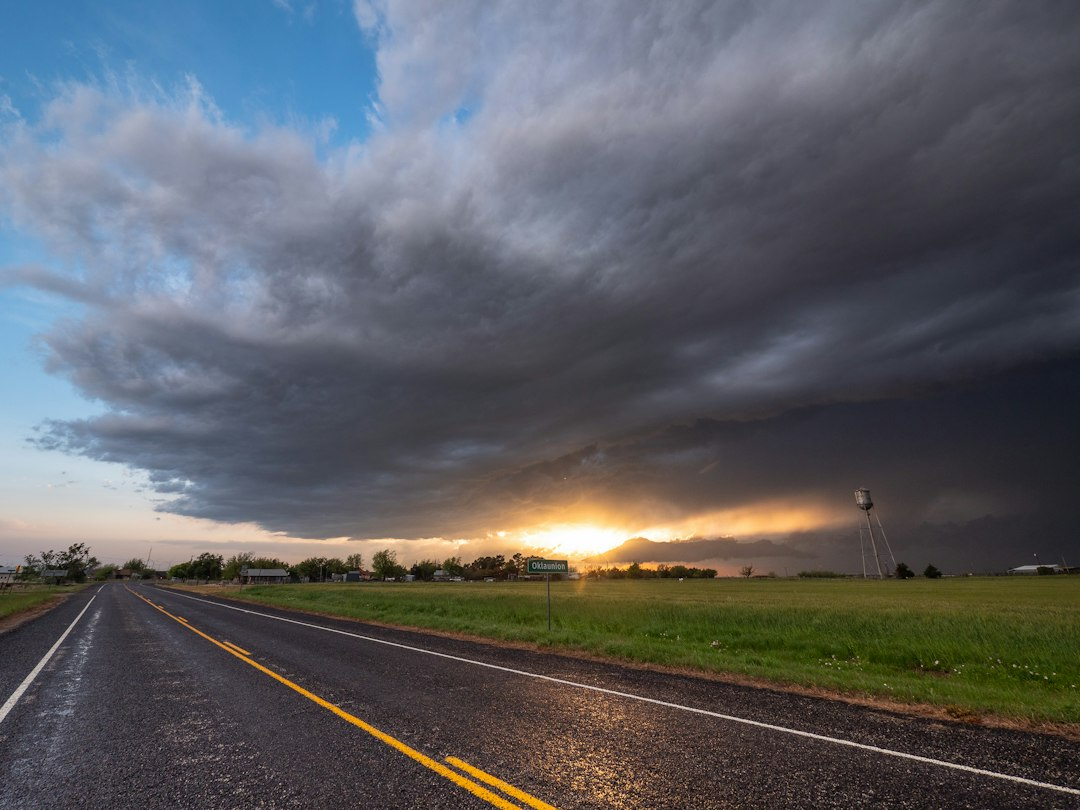
Featured photo: Raychel Sanner via Unsplash. Illustrative storm image, not a photograph of this weather event.
[…] the severe-storm outlook addresses wind, hail and tornado hazards. AskNovus separately reported the South-Central Texas flood watch and the updated flood risk in northeast New […]