
Updated September 30, 2026, 9:55 a.m. ET. Thunderstorms capable of damaging wind, hail and brief tornadoes are forecast across parts of the central and southern Plains Wednesday afternoon through the night. The Storm Prediction Center’s Day 1 outlook, issued at 7:57 a.m. CDT, places portions of the region under a slight risk of severe thunderstorms for the period from 8 a.m. CDT Wednesday through 7 a.m. CDT Thursday.
Areas and timing
In the southern Plains, the SPC highlights portions of west Texas into southwest Oklahoma. Storms are expected to redevelop from late Wednesday afternoon into the evening as a weather system moves out of the southern Rockies. Strong to severe wind gusts are the most likely hazard, with isolated hail possible, especially in southwest Texas. A localized tornado risk could develop during the evening. Some severe potential may continue into central Texas and Oklahoma overnight before storms weaken.
Farther north, central and eastern Kansas and possibly far southeast Nebraska face a risk of tornadoes and localized wind damage. The outlook says several tornadoes are possible if storms can organize near a warm front. That part of the forecast has meaningful uncertainty because persistent morning rain and cloud cover may limit heating and instability. The risk could change as forecasters see how those early conditions evolve.
What “slight risk” means
A slight risk is a regional forecast showing where organized severe storms are possible. It is not a severe thunderstorm watch or warning. A watch means conditions are favorable for severe storms over a defined area, while a warning means severe weather is occurring or imminent in a specific location. Residents should use the latest National Weather Service alerts for local watches, warnings and valid times during the day.
Heavy rain is also affecting portions of the Plains, but the severe-storm outlook addresses wind, hail and tornado hazards. AskNovus separately reported the South-Central Texas flood watch and the updated flood risk in northeast New Mexico.
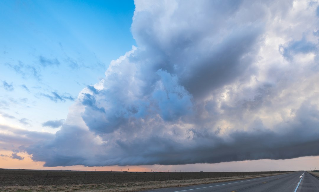
Source: NOAA/NWS Storm Prediction Center Day 1 Convective Outlook issued September 30, 2026, at 7:57 a.m. CDT. Featured image: Raychel Sanner / Unsplash, illustrative Texas storm photograph.
[…] is an updated, Texas-focused development from the broader Central and Southern Plains storm risk reported earlier. Forecasts and alerts can change as storms […]