
Updated 8:47 a.m. EDT on October 5, 2026: A National Weather Service flash flood warning remains in effect for southern Okaloosa County and southeastern Santa Rosa County in northwest Florida until 8:45 a.m. CDT, or 9:45 a.m. EDT.
The warning was issued at 5:45 a.m. CDT after radar and automated rain gauges showed thunderstorms producing heavy rain around Destin and Okaloosa Island. The Weather Service said 2 to 3 inches had fallen and another 1 to 2 inches was possible.
Communities in the warned area
The warning includes Destin, Fort Walton Beach, Niceville, Navarre, Navarre Beach, Eglin Air Force Base, Valparaiso, Mary Esther, Wright, Ocean City, Lake Lorraine, Shalimar and nearby communities.
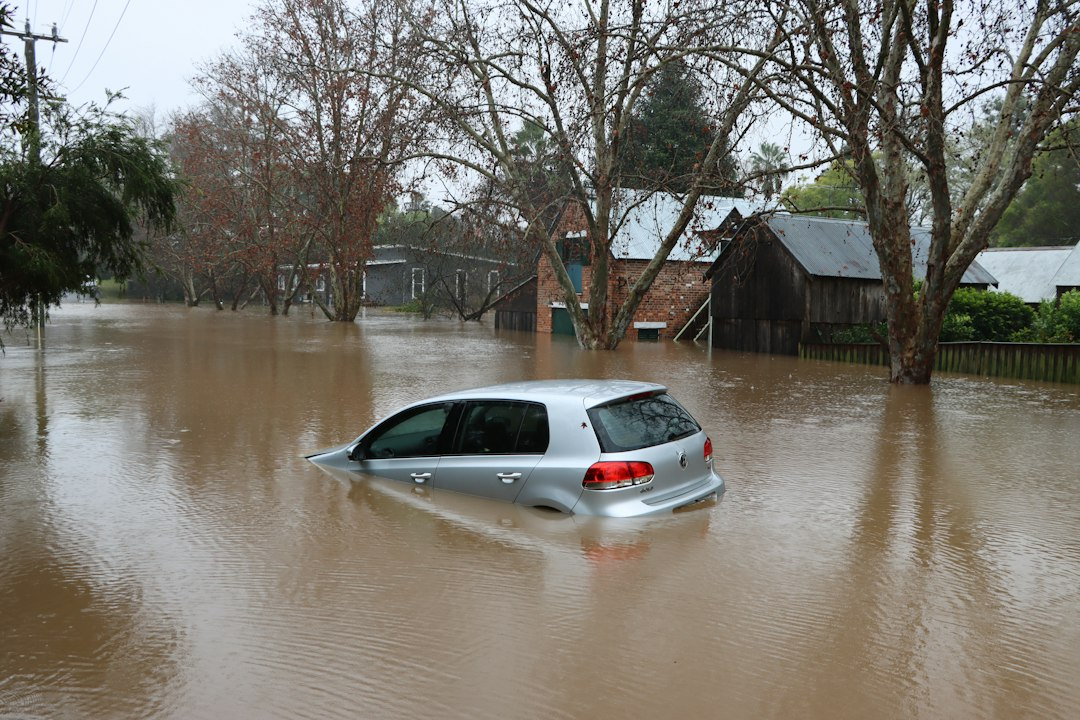
Flash flooding was ongoing or expected shortly. Risks include rapidly rising water on streets and underpasses, poor-drainage flooding and flooding along small creeks and streams. Drivers should never enter a flooded roadway.
Warning, not a watch
This is a flash flood warning, meaning dangerous flooding is occurring or imminent in the specified area. A flood watch instead means conditions may become favorable for flooding.
Thunderstorm placement remains uncertain, so rainfall totals can vary sharply over short distances. Residents should use the live National Weather Service page for extensions, replacements or cancellation.
The Weather Prediction Center also maintained an excessive-rainfall risk for parts of the Southeast. AskNovus has separate background coverage of the broader Florida Panhandle and south Georgia flood threat and the earlier Alabama warning cycle.
Sources
- National Weather Service — active warning summary, October 5, 2026
- Weather Prediction Center — Excessive Rainfall Discussion, October 5, 2026
Illustrative image credit: Wes Warren/Unsplash.