
Nolo crossed the International Date Line on Sunday, October 4, changing its regional classification from a hurricane to a typhoon while remaining a powerful Category 3-equivalent tropical cyclone over the remote Pacific.
In its final advisory on the system, the U.S. National Hurricane Center placed Nolo about 395 miles west-southwest of Lisianski Island. Maximum sustained winds were near 115 mph, and the storm was moving west at 17 mph.
No current threat to populated land
Forecasters said Nolo was not expected to threaten land through Friday. Its center had moved into a broad, sparsely populated stretch of the Northwest Pacific after passing the Northwestern Hawaiian Islands and the Papahānaumokuākea Marine National Monument.
The National Hurricane Center ended its advisory sequence because the cyclone crossed from the central Pacific into the western Pacific warning region. That handoff changes which meteorological agencies track it; it does not mean the storm suddenly weakened or disappeared.
Why the name changed from hurricane to typhoon
Hurricane and typhoon describe the same type of tropical cyclone. The terminology depends on the ocean basin: storms with sustained winds of at least 74 mph are called hurricanes in the Atlantic and central or eastern Pacific, and typhoons in the Northwest Pacific.
Nolo retained winds near 115 mph as it crossed the boundary. It had rapidly intensified Saturday, weakened earlier in its life cycle, and then regained major-hurricane strength before reaching the date line.
Impacts and remaining uncertainty
No watches or warnings were in effect for populated islands in the final U.S. advisory. Because Nolo remains intense, dangerous seas and large swells are possible near its track across open water. Mariners should rely on the latest products from the responsible western Pacific warning agencies rather than older Hawaii-area alerts.
The forecast through Friday keeps Nolo away from land, but intensity forecasts can change as the cyclone encounters different water temperatures and atmospheric conditions. Track uncertainty also expands farther into the future even when the near-term direction appears stable.
Elsewhere in the Pacific, Hurricane Rachel continues producing dangerous surf toward Baja California while moving away from Mexico.
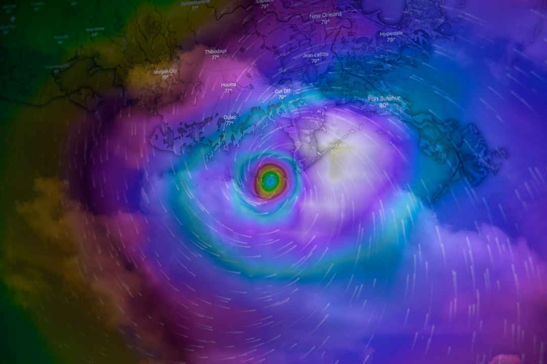
Featured image: Brian McGowan/Unsplash. Illustrative hurricane image.
Sources
- Associated Press, October 4, 2026
- National Hurricane Center, 2026 Nolo advisory archive
- Associated Press, October 3, 2026