
Updated September 30, 2026, 9:30 a.m. ET (7:30 a.m. MDT). Rain is expected to persist across much of north-central and northeast New Mexico through Wednesday evening, raising the chance of additional flooding after earlier rainfall soaked the ground. In a map update at 7:26 a.m. MDT, the National Weather Service office in Albuquerque placed far northeast New Mexico under a moderate risk of excessive rainfall for Wednesday.
Where and when the risk is greatest
The weather office forecasts another 1 to 2 inches of rain in favored parts of north-central and northeast New Mexico through Wednesday night, with a low chance of localized amounts above 3 inches. Showers and scattered thunderstorms are expected during the day; the most persistent rain should be in those northern and northeastern areas. Conditions are forecast to dry from west to east Wednesday night into Thursday, but the timing of individual downpours remains uncertain.
Rain falling on saturated soil can run off quickly. The NWS identifies low-lying areas, arroyos, streams, and locations within or downstream of burn scars as particularly exposed. Localized totals matter more than the regional average: a narrower storm track or repeated downpours could produce a sharper flood problem in one community while another receives less rain.
Outlook versus an active alert
A moderate excessive-rainfall risk describes the potential for flooding over a broad area; it is not a flood warning for every location in that area. The NWS office map showed flood warnings, advisories and watches in parts of its coverage area at the time of the update, each applying to different places and conditions. A watch means flooding is possible; a warning means it is occurring or imminent in the warned area. Readers should check the latest NWS Albuquerque forecast and active alerts for their exact location and valid times before travel.
Do not drive through water covering a road. Conditions can change quickly where runoff reaches crossings and arroyos. For broader context on the moisture moving into the Southwest, see AskNovus’s earlier report on Polo’s remnants and the regional flood threat; this update focuses on the new Wednesday forecast for northern New Mexico.
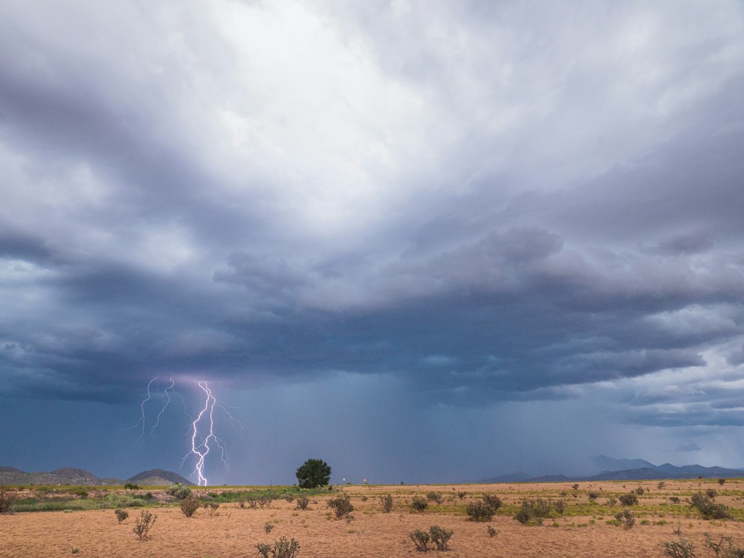
Sources: NWS Albuquerque, map and forecast updated September 30, 2026. Featured image: Raychel Sanner / Unsplash, illustrative photo of a New Mexico monsoon storm; it does not show this event.