
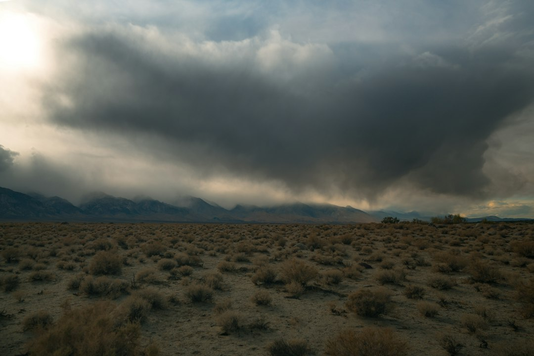
September 29, 2026. Polo weakened to a tropical storm over northwestern Mexico after striking Baja California Sur and then making a second landfall near Guaymas, Sonora, as a hurricane, according to Reuters reporting on September 29. The storm’s moisture is also contributing to a wider heavy-rain threat in the U.S. Southwest.
Flooding, downed trees and utility poles, and road closures were reported in Mexico. The storm’s weakening wind speed does not end the rainfall hazard: runoff and mudslides can remain dangerous after a cyclone crosses land. Reuters reported that southern and central Sonora could receive substantial additional rain, with higher totals in isolated areas.
What U.S. forecasters are watching
The NOAA Weather Prediction Center’s September 29 outlook showed a moderate risk of excessive rainfall on successive days across parts of the country. Its national page also highlighted ongoing heavy rainfall and flooding from the Southwest toward the central United States. A risk category describes the potential for flooding within an area; it does not mean every community will receive the same rain total.
Moisture from Polo is interacting with other weather systems, so U.S. rain cannot be attributed to the cyclone alone. The Associated Press reported on September 29 that flood watches covered parts of New Mexico, Texas, Oklahoma, Kansas, Nebraska and Iowa. Watches mean conditions favor flooding, while local warnings identify a more immediate threat.
Where Polo went
Polo first crossed Baja California Sur late on September 28 or early September 29 local time, then moved across the Gulf of California and into Sonora. Reuters reported that it reached the mainland near Guaymas as a Category 1 hurricane before weakening inland. The storm’s center and the heaviest rain are different things: moisture can travel far from the track, especially where terrain and other weather systems lift it into rain clouds.
Residents and travelers in affected areas should use current local National Weather Service alerts and road information for decisions, because the outlook may change after this September 29 report. For background on the difference between a broad outlook and a local forecast, see AskNovus’s guide to reading weather outlooks.
Sources
- NOAA Weather Prediction Center, September 29, 2026
- Reuters, September 29, 2026
- Associated Press, September 29, 2026
Featured photo: Abhi Verma via Unsplash; illustrative weather image.
[…] The orange alert was the reported status at the time of reopening on September 29, not a forecast that further disruption is impossible. For another weather-related travel risk, AskNovus is following flood concerns linked to former Storm Polo. […]
[…] arroyos. For broader context on the moisture moving into the Southwest, see AskNovus’s earlier report on Polo’s remnants and the regional flood threat; this update focuses on the new Wednesday forecast for northern New […]